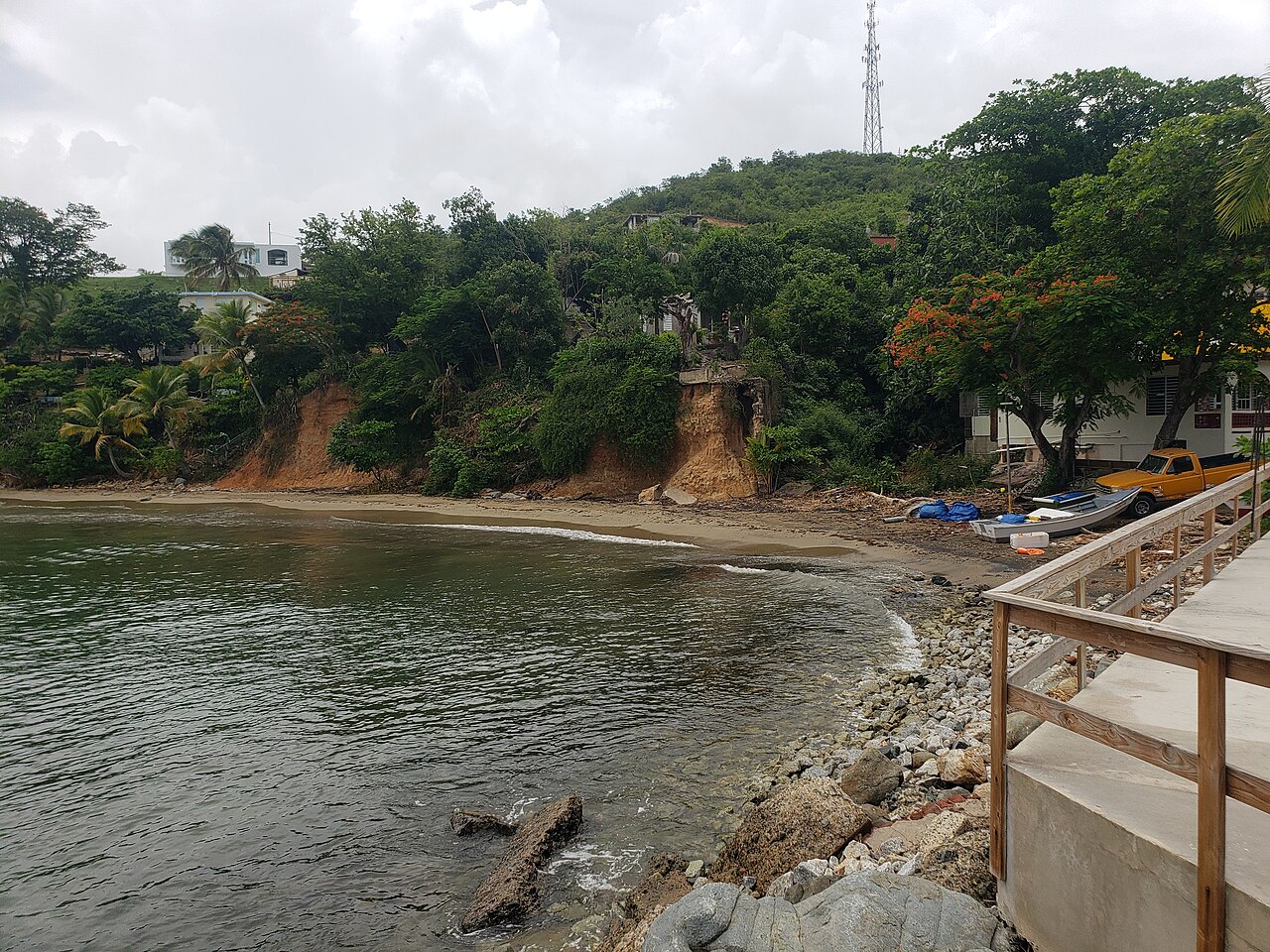
Maunabo is a coastal municipality in the South region of Puerto Rico, set in the Maunabo Valley on the southeastern coast, about 34 miles from San Juan. It lies northeast of Patillas and south of Yabucoa, and is organized into eight barrios plus the Maunabo Pueblo, covering roughly 72.21 km² and home to about 10,589 residents as of 2020.
Founded in 1799, the town is part of the San Juan-Caguas-Guaynabo Metropolitan Statistical Area despite its position on the island's southeastern coastline. Its coastal setting is marked by the Faro de Punta Tuna, a cultural landmark that reflects the area's maritime heritage.
For visitorsVisitors are drawn to the Faro de Punta Tuna, a cultural landmark along Maunabo's southeastern coastline.
For living hereResidents live in a coastal valley town of modest size, organized across eight barrios and the town center, within commuting reach of the greater San Juan metropolitan area.Living in Maunabo: rent, commute, schools & safety
Latest from Maunabo
Things to do in Maunabo
Culture & History1
Faro de Punta Tuna
Historic Lighthouse Museum
The Faro de Punta Tuna is a historic lighthouse located on a narrow promontory at the southeasternmost point of Puerto Rico in Maunabo. It is situated in the eastern part of the island. The lighthouse serves as a museum, providing insights into the island's history and is a significant part of the region's cultural heritage.