Escambrón Marine Park
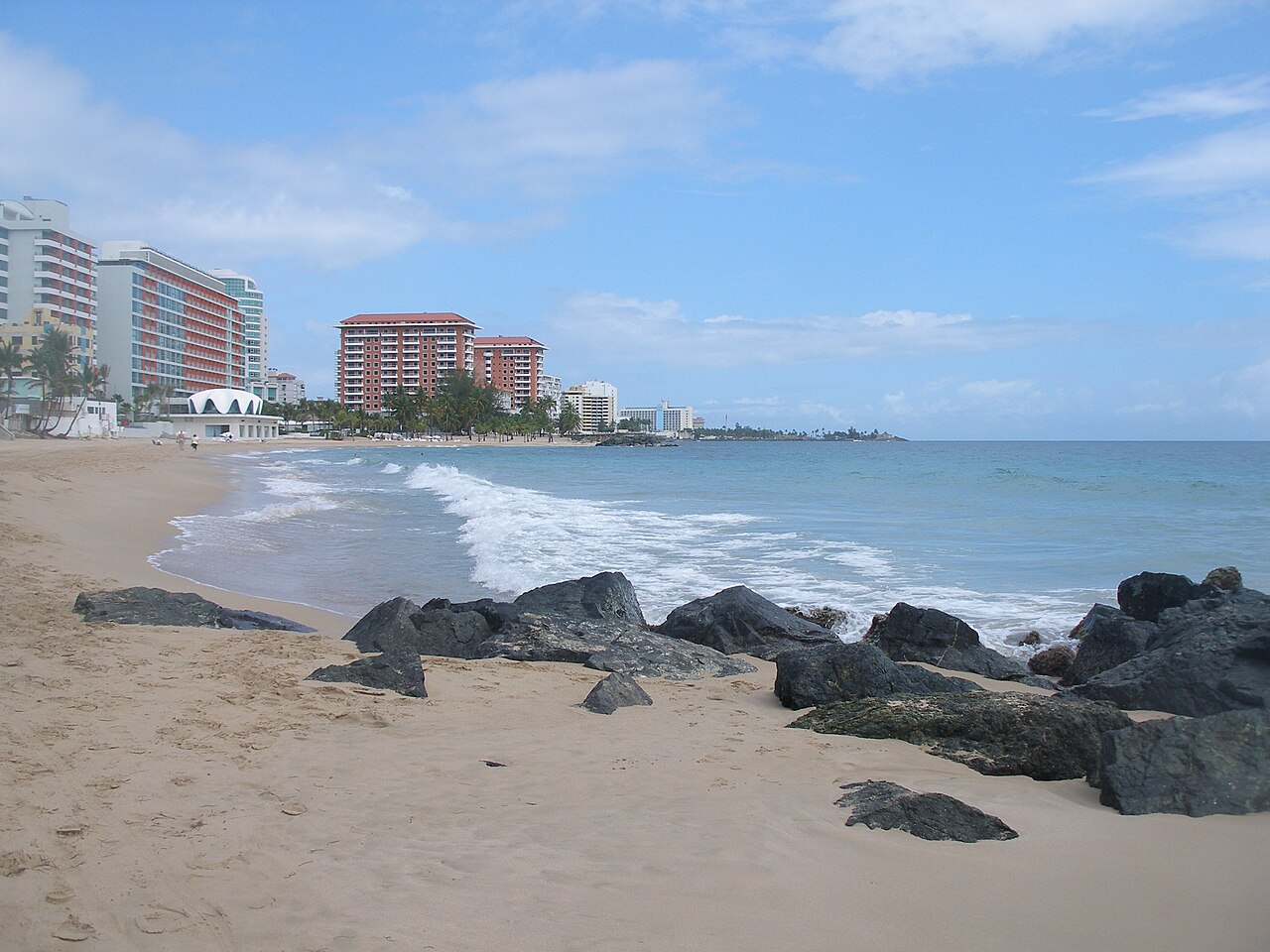
An easy shore dive in the middle of San Juan: a protected reef with old ruins, entered from the beach. Coral ledges, seagrass and plenty of fish lie a short swim out; dive schools train here and snorkelers come on calm days.
787daily Guide
Surf, dive, snorkel, and boat-ready places. 38 places across Puerto Rico, 32 of them chosen and written by hand.
Before you go: Check the live conditions page before committing to a water day.
An easy shore dive in the middle of San Juan: a protected reef with old ruins, entered from the beach. Coral ledges, seagrass and plenty of fish lie a short swim out; dive schools train here and snorkelers come on calm days.
A calm, protected lagoon behind Condado, the city's easiest flat water for a first paddle. Kayak and paddleboard rentals work from its shore, and paddlers often see manatees.
San Juan's most popular kitesurfing launch: riders rig on the grass at Punta Las Marías and launch from a sandy beach, with a long reef about half a mile out that breaks in winter swell. Keep clear of the marked swimming areas.
Surf breaks at La Ocho, Pine Grove and Condado face the open Atlantic and are at their best from November to March. The calmer inside spots are where surf schools start beginners.
A members' yacht club in San Juan, founded in 1930 for sailing and sport fishing. Each August or September it hosts the San Juan International Billfish Tournament, which it bills as the longest consecutively running big-game fishing tournament in the world.
A dive operation running snorkel and scuba tours out of Escambrón Marine Park in San Juan, with PADI training from Open Water up to Instructor, plus rentals, air fills, and repairs.
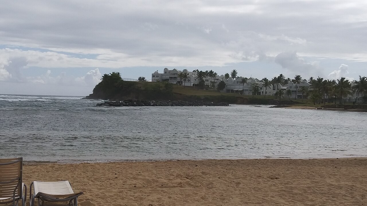
Reef and beach breaks along Dorado's resort coast. The sheltered bays are calmer for beginners; the open points catch winter swell from the north and northeast.
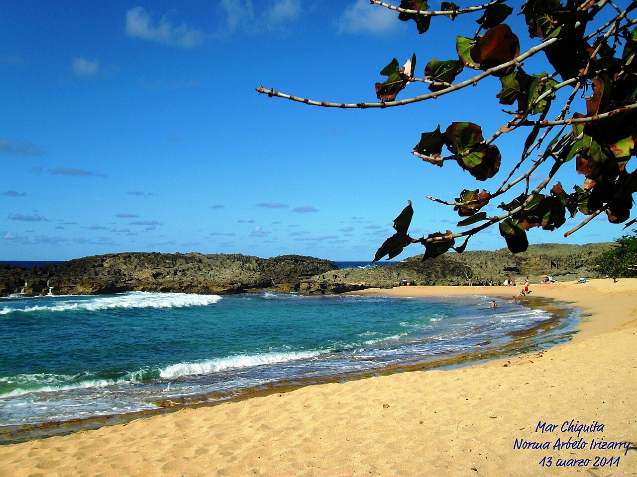
Mar Chiquita is a horseshoe-shaped cove behind a gap in the rock, calm enough to swim in. Nearby Punta Palmas has reef breaks when swell comes from the north and northeast.
Arecibo's coast faces the open Atlantic: steady winter swell from the north and northeast breaks over sand and limestone reef, best from November to March, when the trade winds blow 15–22 knots.
Surf all year at a string of beach and reef breaks. Crash Boat, in the bay, is a favorite shore dive and snorkel when the sea is calm, with 40–60 ft of visibility.
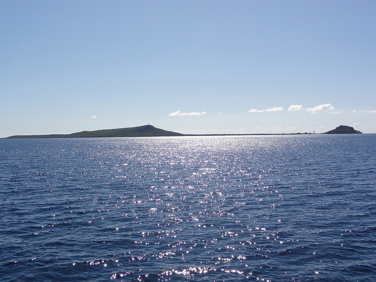
An uninhabited island off the west coast, now a U.S. Fish & Wildlife refuge. The island itself is closed to visitors because of old military ordnance; dives and snorkels stay in the water around it, with 80–100 ft of visibility and sharks, rays and turtles. Day trips leave from Rincón and Aguadilla.
Two well-known surf spots side by side in Isabela: Jobos, with powerful waves close to shore, and Shacks, a reef break. When the trade winds blow, Shacks is also a kitesurfing spot for experienced riders.
A remote, uninhabited island in the Mona Passage, protected as a nature reserve by Puerto Rico's natural resources department (DRNA), with 100–150 ft of visibility, sharks, sea turtles and untouched coral. You get there by private boat or on a licensed trip from Cabo Rojo; landing and camping need a DRNA permit, and camping is allowed May to November.
The surf town on Puerto Rico's western tip, where winter swell from the north to northwest wraps in from November to March. Experienced kitesurfers ride Little Malibu, on the north side of town, in northeast winds.
A marine reserve off Steps Beach in Rincón that protects a large stand of elkhorn coral. In flat summer seas it is a snorkel and shallow-dive site; in winter the same reef throws Rincón's big-wave break.
A west-coast port city with calm dive sites along the edge of the island shelf, sheltered from the trade winds, and a starting point for boat trips to Desecheo.
A dive shop at Rincón's Black Eagle Marina, running daily trips out to Desecheo plus snorkel tours and shore dives at the Tres Palmas Marine Reserve, and courses from Discover Scuba through Divemaster.
La Parguera's glowing bay, a short boat ride east of the village. It is fainter than the bays in Vieques and Fajardo, but it is the only one of the three where tours let you get in the water; rules can change, so check with your operator.
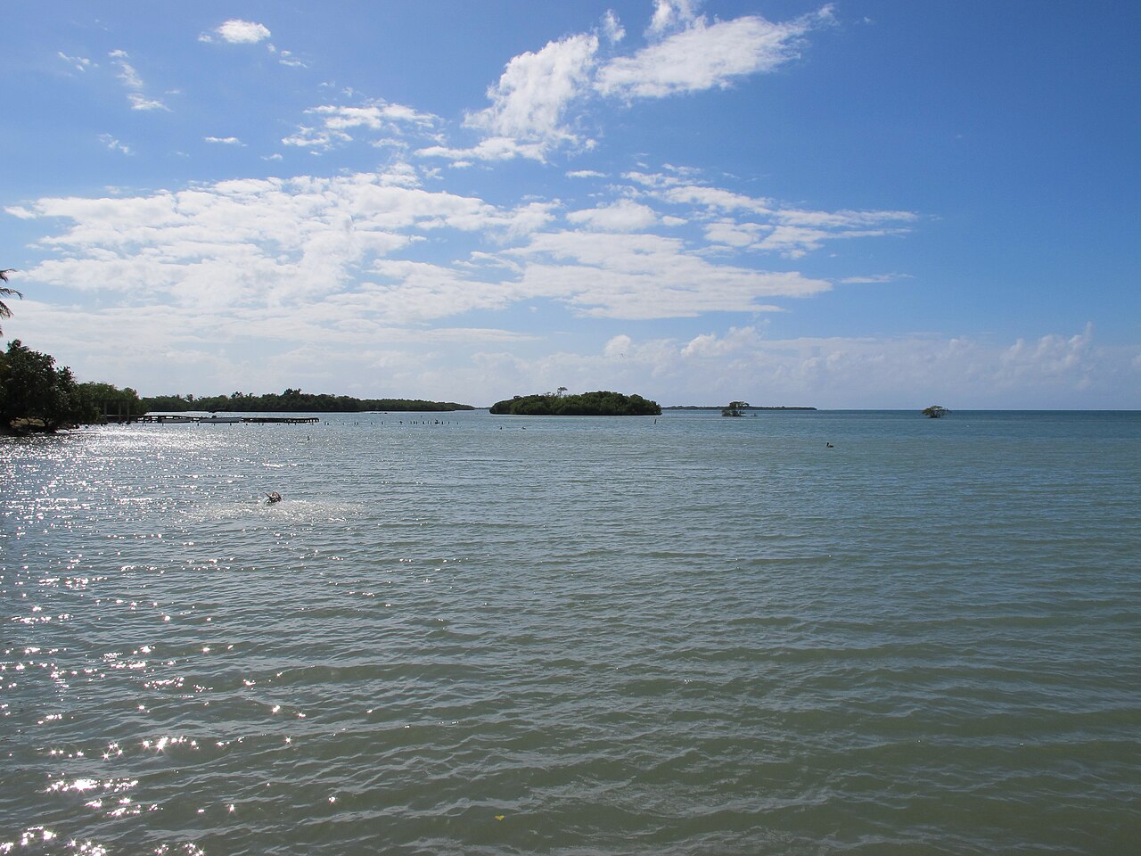
Calm, clear snorkeling around the mangrove cays of Guánica's protected bay. Gilligan's Island (Cayo Aurora) has shallow reefs; travel guides report its public ferry has not run since the 2020 earthquakes, so people reach it by kayak rented along PR-333. Check before you go.
Wall diving where the southwest shelf drops off, with 60–80 ft of visibility. La Parguera's bioluminescent bay glows fainter than the bays in Vieques and Fajardo, but it is the only one of the three where tours let you swim; rules change, so check with the operator.
Puerto Rico's southwest corner: clear, shallow flats and reefs off Buyé and El Combate for snorkeling and first dives, and the flat water of Boquerón Bay, between them, where beginners learn to kite.
An uninhabited island nature reserve about five miles off Ponce, ringed by reef. Boats leave from the La Guancha boardwalk in Ponce, and dive trips reach coral walls and gardens in clear, warm water.
The southeast coast between Guayama and Patillas catches strong trade winds over open water. Kiters launch at Punta Pozuelo in Guayama and at Punta Guilarte in Arroyo, between the two towns.
The south coast's largest city has a working marina and boats out to dive sites on the southern shelf; boats to Caja de Muertos leave from the La Guancha boardwalk. The water on this coast is calm enough to dive most of the year.
Salinas harbor and its broad, sheltered bay have flat water and steady trade winds from the east-southeast, and the harbor is a popular weekend stop for boaters.
Las Croabas, on Fajardo's northeast shore, is where the kayak tours to the Laguna Grande bioluminescent lagoon start, and the trade winds blow steadiest here from November to April. Ferries to Vieques and Culebra leave from Ceiba, to the south.
Kayaking a glowing bioluminescent lagoon
No swimming
A bioluminescent lagoon in the Las Cabezas de San Juan Nature Reserve, the closest of the glowing bays to San Juan. Licensed kayak tours leave Las Croabas after dark and paddle a narrow mangrove channel to it; swimming is not allowed.
A run of beach breaks along the coast road east of San Juan, past the Piñones mangrove lagoon. Swell from the north and northeast throws fast, hollow waves close to shore, and the coast stays quieter than the city beaches.
Day sails and charters
A big marina on the east coast near Fajardo: its operator, Safe Harbor, calls it the Caribbean's largest, with more than 900 wet slips. Charter companies based there, among them East Island Excursions and Sail Caribe, run day sails out of it.
Yabucoa sits on the southeast corner, where the Atlantic meets the Caribbean. Small boat ramps give access to dive sites offshore, clearest from June to September, with 40–60 ft of visibility.
The cays and reefs off Fajardo — Icacos, Diablo, Lobos and Palomino — make up La Cordillera Nature Reserve: clear water, shallow coral and sea turtles, reached by boat.
Reef-sheltered coves off Palmas del Mar give calm dive sites with 40–60 ft of visibility all year; the open points catch 2–5 ft of winter swell from the northeast for surfing, November to March.
The Yacht Club Marina at the Palmas del Mar resort community in Humacao: about 158 slips, a fuel dock and a restaurant. Fishing and snorkel charters leave from it, among them Maragata Charters.
A PADI 5-star center at Villa Marina in Fajardo, running two-tank trips out to the Cordillera reef system and the reefs off Culebra and Vieques, plus snorkel tours, night dives, and training from Discover Scuba through Divemaster.
The world's brightest bioluminescent bay
No swimming
Guinness World Records named it the world's brightest bioluminescent bay in 2008: tiny organisms light the water blue-green with every movement. You see it on a licensed night kayak or electric-boat tour from Esperanza; swimming is not allowed.
Esperanza, on Vieques' south shore, is the base for the island's reefs and for tours of Mosquito Bay, the bioluminescent bay. Kiters launch at Bahía La Chiva (Blue Beach) and near Mosquito Pier.
Culebra's reefs are clearest from May to August. Playa Tamarindo, just west of Flamenco, lies inside the Luis Peña Channel Natural Reserve, a no-fishing marine reserve between Culebra and Cayo Luis Peña, and is the island's best-known snorkel; Flamenco is the famous swimming beach. Small surf breaks at Zoni and other exposed shores.
A dive center across from Culebra's ferry terminal, running since 1987: one boat, six divers at most, sent each morning to one of more than 50 sites — plus snorkel tours, gear rental and courses up to Divemaster.
No places match.
Know a closure, correction, or better official link? Tell us.